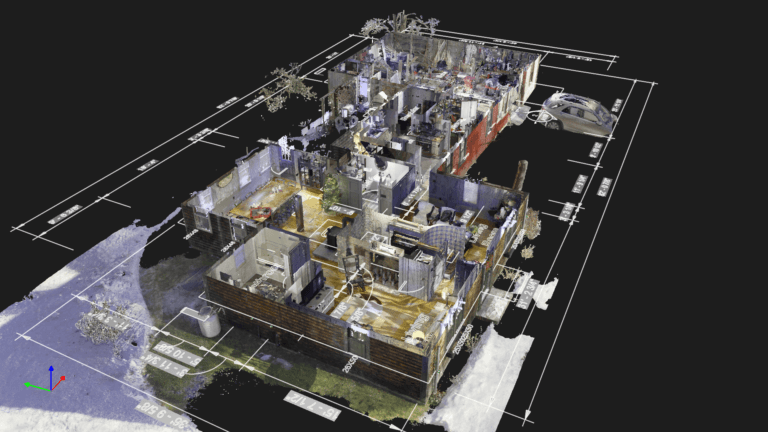
How Reality Capture Technology Improves Construction Sites Safety
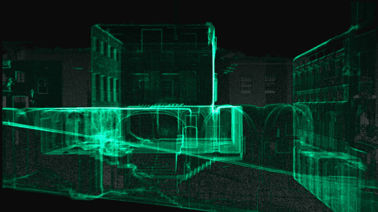
Introduction: Designing for Safety from the Start At OAR, we believe construction site safety begins well before boots hit the ground. It starts with data—accurate, detailed, and immediately actionable. Our reality capture solutions are engineered to support one of the…